Facts and Photos of Yesterday’s Storm
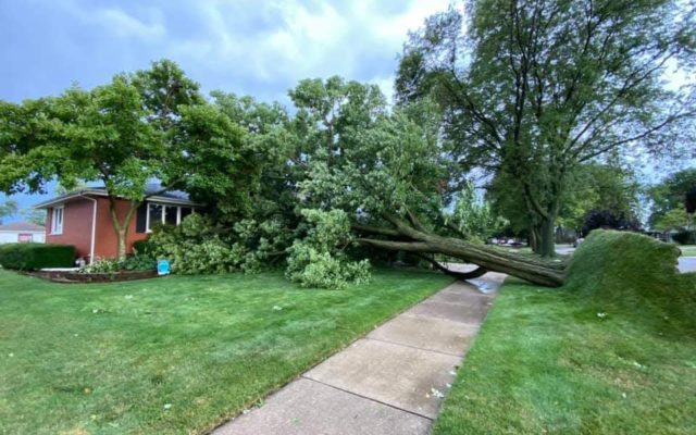
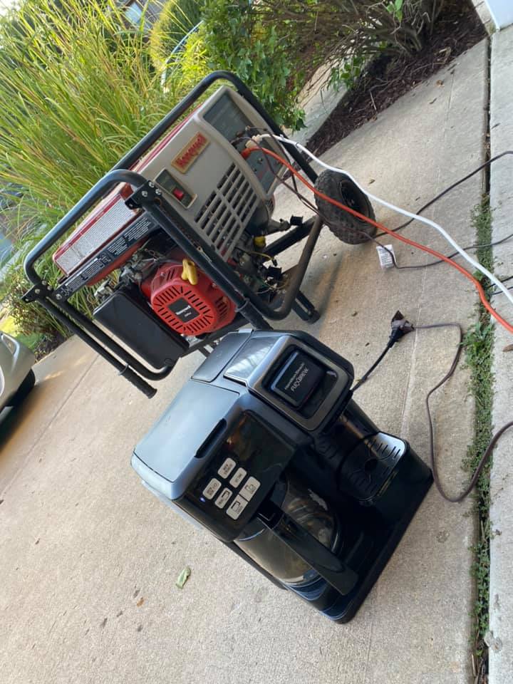
Take a look at some of these photos from yesterday! Just incredible!
Also, the National Weather Service has given us some quick facts pertaining to yesterday’s derecho. Like, what the heck is a “derecho” (A well-organized and long-lived complex of storms that produce widespread severe wind damage.) More:
-
Preliminary numbers from August 10 as of 6 a.m. on August 11:
-
Over 600 reports of severe wind speeds (58+ mph) or wind damage from the Nebraska/Iowa border, across Iowa, northern Illinois and northern Indiana.
-
Over 100 of the wind reports are from northern Illinois and northwest Indiana in the NWS Chicago County Warning Area (CWA).
-
In the NWS Chicago CWA, one confirmed tornado (via video) occurred in Rogers Park, Illinois (a north-side neighborhood of Chicago), that moved out over Lake Michigan making it a waterspout. This was the first tornado in the city of Chicago since September 3, 2018.
-
One injury in northern Illinois and northwest Indiana.
-
Top wind gusts clocked on our @WeatherBug network. #ILwx #INwx @NWSChicago
84mph in Plainfield, 85mph in Lincoln Square. pic.twitter.com/VjSgC20Ric
— Mike Hamernik (@MikeHamernik) August 10, 2020
Thanks to Carrie Svihlik for the above video! Here are a few more shots from around the ‘burbs..


Looking into the “whale’s mouth” of the shelf cloud as the #derecho plowed through Chicago. It rolled over so fast, I only got off a few frames before the wind and rain hit // #ILwx pic.twitter.com/UpiuwW9QBo
— Nick Ulivieri (@ChiPhotoGuy) August 10, 2020

Storm damage to the steeple at College Church in Wheaton. Photo by @dhmarkwelsh for the @dailyherald: pic.twitter.com/bipJtUZ9Eh
— Sean (@SeanStanglandDH) August 11, 2020


