Here’s What Weather to Expect Tonight
FINALLY!!! RAIN!!!!
Here are a few comments from forecasters in the area…both local and regional…to give us a better idea of what to expect and when.
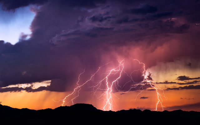
So far, the only real consensus is that it will rain and we will probably have some severe weather. How severe and where it will land is still up in the air! I’ll do my best to keep you updated throughout the midday show!
A narrow line of storms is currently moving southeast out of SW Wisconsin this AM. Storms are expected to weaken and diminish in coverage through mid-morning, however, lightning strikes, brief downpours, gusty winds and small hail remain possible this AM west of I-39. #ILwx #INwx pic.twitter.com/rgEQL3X4lv
— NWS Chicago (@NWSChicago) June 17, 2021
A possible line of strong-severe storms overnight. A MARGINAL risk for severe weather and SLIGHT risk for excessive rainfall has been issued for our area. Scattered strong storms may also form ahead of the line. Strong winds and heavy rainfall are the main threats. #ilwx pic.twitter.com/6ZOrluXRqr
— Joliet Weather Center ⛈🌪 (@JolietWeather) June 17, 2021
Here’s a rough idea of thunderstorm chances/timing. Most of the activity is expected late this evening and overnight, although a few storms could get going as early as about 7 PM or across northwest Illinois. https://t.co/rhsOBzdOFy pic.twitter.com/U7uxz9Neqm
— NWS Chicago (@NWSChicago) June 17, 2021