WINTER STORM WARNING REMAINS IN EFFECT FROM NOON TODAY TO 6 AM CST SATURDAY
December 22, 2022 9:35AM CST
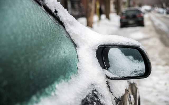
  Snow and blowing snow producing intermittent white out
  conditions expected. Total snow accumulations of 3 to 6 inches,
  with most of the snow occurring this afternoon and evening.
  Rapidly deteriorating conditions with a period of snowfall rates
  over 1 inch per hour expected mid to late afternoon. Winds
  gusting as high as 50 mph expected. Wind chill values of 25 to
  35 below zero expected.

* WHERE...Portions of east central and northeast Illinois.

* WHEN...From noon today to 6 AM CST Saturday.

* IMPACTS...Falling or blowing snow may result in white out
  conditions with zero visibility at times, making travel
  extremely difficult. Power outages will also be possible as a
  result of strong wind gusts to 50 mph. Roads will likely quickly
  become ice covered as temperatures rapidly fall Thursday this
  afternoon.

* ADDITIONAL DETAILS...Dangerously cold wind chills as low as 25
  to 35 below zero tonight through Friday night can cause
  frostbite on exposed skin in as little as 20 minutes.

PRECAUTIONARY/PREPAREDNESS ACTIONS...

If you must travel, keep an extra flashlight, food, and water in
your vehicle in case of an emergency.

The latest road conditions for Illinois can be obtained on the
internet at www.gettingaroundillinois.com.
Popular Posts
Recent Posts

Your Smart Question of the Day…Answer
2 hours ago